1. What Terraglyph is for
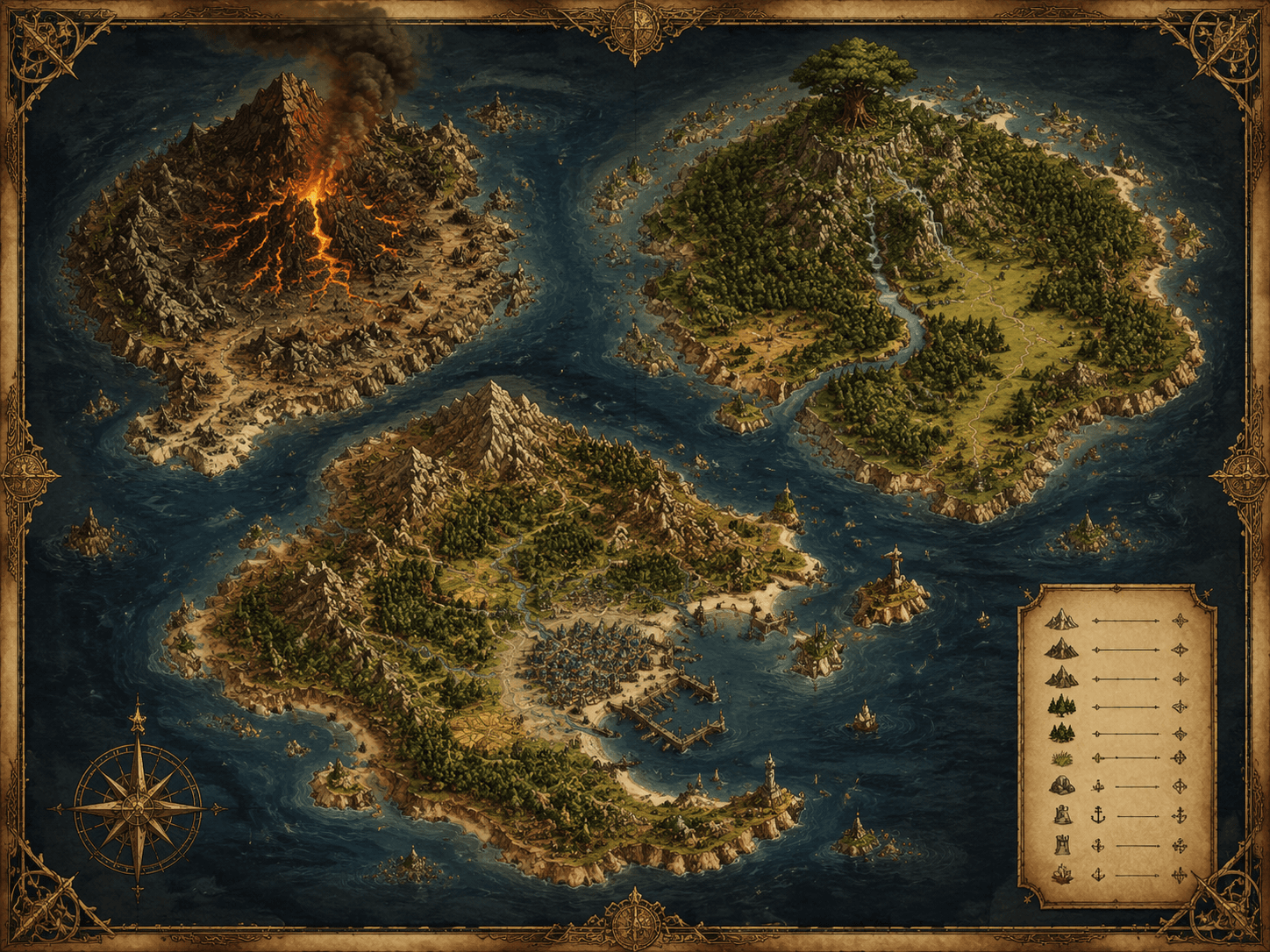
Terraglyph produces stylized, fictional maps, terrain and flythroughs for storytelling, games, illustration and education. It is not a mapping, surveying, navigation or geological service.
2. You must not
- present or distribute any output as real geographic, official, government or survey data;
- imitate real official mapping products, agencies, seals or authorities;
- generate maps that assert real-world territorial or border claims in order to mislead;
- use outputs to forge land deeds, exploration reports, permits or other documents;
- use outputs for real-world navigation, land measurement or boundary setting, engineering or construction, geological-hazard or mineral assessment, or any safety-critical decision;
- create content that is unlawful, hateful, harassing, sexually exploitative of minors, or that infringes third-party intellectual property;
- attempt to reverse engineer, overload, scrape or abuse the service or its rate limits.
3. Third-party rights
Do not upload material you do not have the rights to, and do not prompt for outputs that copy identifiable third-party brands, logos, characters or protected works.
4. Enforcement
We may remove content, and suspend or terminate accounts, that breach this policy. Serious or unlawful misuse may be reported to the relevant authorities.
5. Reporting
Report misuse to support@inovageo.shop. This policy works alongside our Terms of Service and AI Disclaimer.