1. Outputs are AI-generated fiction
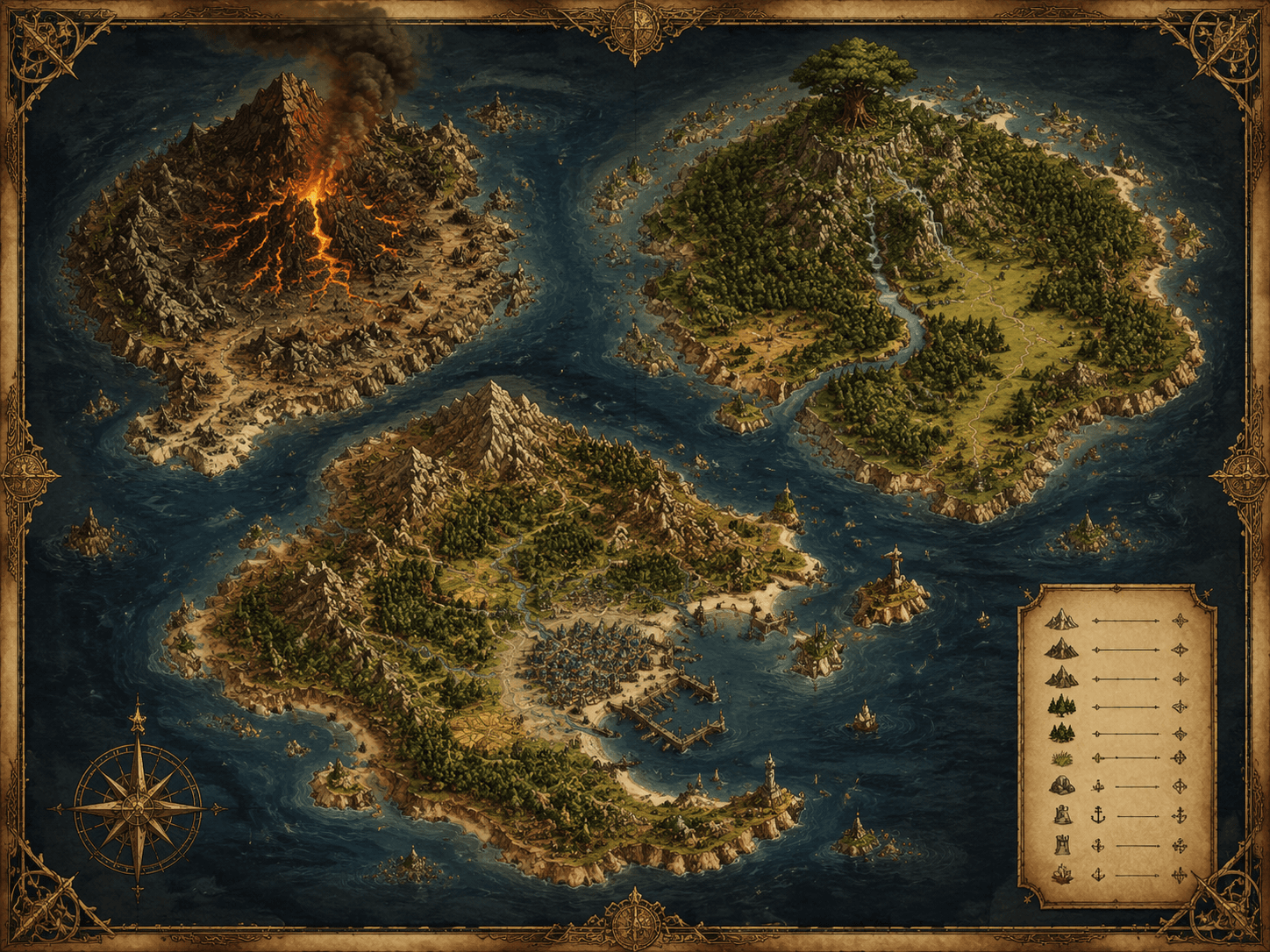
The maps, terrain renders, geological cross-sections, biome boards, landmark concepts, map pairs and flythrough plans Terraglyph produces are stylized, fictional artistic reconstructions. They are generated by AI from your text brief and are made for creative and entertainment purposes only.
2. Not real geographic or scientific data
Outputs are not real maps, survey data, cadastral records, geological surveys, nautical or aeronautical charts, or navigation data. Place names, coastlines, strata and elevations are invented or approximated and carry no guarantee of scientific or geographic accuracy.
3. Prohibited real-world uses
You must never use Terraglyph outputs for:
- real-world navigation on land, sea or in the air;
- land surveying, boundary, cadastral or property-line determination;
- engineering, construction or infrastructure planning;
- geological-hazard, seismic, mineral or resource assessment;
- emergency, disaster or any safety-critical decision;
- presenting the output as an official or government mapping product.
Terraglyph does not provide, and must not be represented as providing, any surveying, exploration, geophysical, navigation or geographic measurement service.
4. Your responsibility
You are responsible for how you use outputs and for verifying any information independently before relying on it. Do not present generated content as fact where accuracy matters.
5. Where this notice appears
A short version of this disclaimer is shown in the studio next to your brief input and alongside every generated result, and is included in each exported World Kit.
6. Contact
Questions: support@inovageo.shop. See also the Acceptable Use policy. INOVA GEOPHYSICAL (UK) LIMITED. Governing law: England and Wales.